There are several uses for GNSS in marine navigation. It is used for open sea navigation, harbor entrances and approaches, and positioning (vessel monitoring, management of traffic, locators for distress situations) of crews and vessels.
Nowadays, the use of positioning in marine navigation is widespread, with different categories of vessels, beacons and ports using GNSS for different purposes. At the same time, it's also used for commercial purposes.
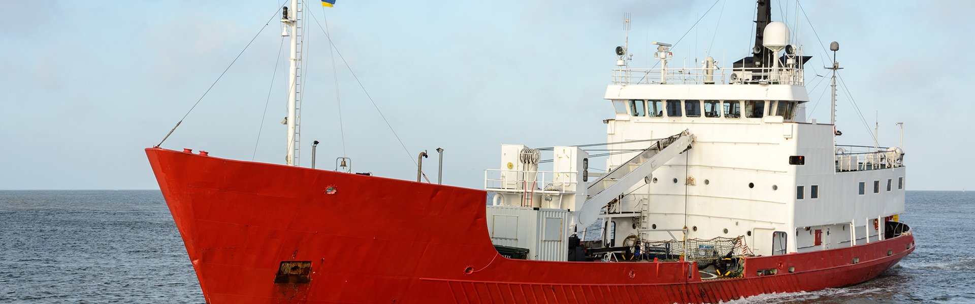
How GNSS Affects Maritime Applications
GNSS has radically changed maritime navigation, whether on board the largest supertankers and container ships, or on small leisure crafts using inexpensive handsets. GNSS has become the primary source of timing and position information for the integrated Electronic Chart Display and Information Systems being used on merchant ships.
Increasing the level of safety by employing GNSS to prevent marine accidents proved to be the biggest challenge over the past few years. Indeed, trends for marine accidents demonstrate a rising number and costs mainly associated with collisions and groundings. About 60% of these accidents are believed to be caused by human error.
In part, the human error is possibly due to the insufficient application of navigation equipment that could prevent accidents by improving the decision-making process. This has been stated in a 2008 report of the International Maritime Association (IMO).
The widespread uptake of GNSS for commercial shipping has raised the need for common standards for performance and reliability. Since GNSS signals are prone to occasional interruptions in availability, the ability of receivers to process signals from more than one constellation is obviously an advantage.
A GNSS signal is vulnerable to interference (whether because of reflections and canyons or infrastructure, or as a result of deliberate jamming), hence the need of a complementary back-up navigation system.
In the meantime, IMO has been working in the area of improving safety of marine GNSS applications. IMO has initiated the e-Navigation initiative that aims to enhance the safety of navigation and reduce errors by integrating all navigational tools in an all-encompassing bridge system.
IMO defines this as “the harmonized collection, integration, exchange, presentation and analysis of marine information onboard and ashore by electronic means to enhance berth to berth navigation and related services for safety and security at sea and protection of the marine environment.”
The marine end users of GNSS would be the ship masters and pilots, as well as port authorities. However, the benefits of all-around GNSS navigation systems in this area will be felt by a much broader category of people, including passengers and companies that are working in maritime supply and transport.
Maritime Uses for GNSS
With GNSS being increasingly used in commercial applications, there have been some shifts. It's easy to notice the increased efforts of companies to improve GNSS services and become important market players.
At Hemisphere GNSS, we offer a variety of products and services geared towards serving the marine industry. Our services are used in recreational, professional, and commercial marine markets, to which we provide high-accuracy satellite heading, navigation, and positioning data.
Our goal is to offer an all-around service that will improve fuel consumption, lead to better time-management of customers, reduced pollution, and improved safety.

RECREATIONAL USE
According to some estimates, there are more than 29 million recreational vessels in use, with fishing vessels estimated at approx. 3.3 million.
It is therefore highly significant to improve the use of GNSS for recreational navigation, even though merchant vessels have a larger adoption rate in comparison with recreational vessels when it comes to GNSS applications (87% GNSS penetration in merchant vessels compared to 22% GNSS penetration in recreational ones).
SEARCH AND RESCUE USE
Search & Rescue is another area where advanced GNSS use could lead to massive savings of profit, and possibly even prevent the loss of human life due to the capability of advanced systems to transmit distress signals and the state-of-the-art navigation equipment.
It's estimated that there are more than 50,000 merchant ships trading internationally with 400 million passengers using European ports each year. With larger ships (that cost over EUR 100 million to build) and cargo worth over EUR 200 million, the expectations for safety and security are at an all-time high.
Market Expectations
GNSS applications are also spreading rapidly in recreational navigation. This is due to the fact that consumers have an inclination towards technological aids to navigation tools.
As GNSS penetration in recreational vessels is steadily improving, the business for GNSS shipments for merchant navigation is booming. The number of shipments is expected to almost double in the next ten years (reaching an estimate of 50,000 units).
Developing New Performance Standards
GNSS has become the primary means of navigation in many maritime applications. Hence, the IMO has set operational performance requirements for GNSS to be recognized as World-Wide Radio Navigation Systems (WWRNS) that are used as a benchmark to assess the performance of the potential core systems.
The ability to receive GNSS and augmentation signals from multiple satellites belonging to different constellations allows for a higher probability of acquiring a greater number of satellites at any point in time. As a result, navigation performance will be drastically improved, enhancing the user experience and possibly enabling for GNSS receivers to meet performance standards prescribed by the IMO.
In its Market Report, the European Global Navigation Satellite Systems Agency (GSA) notes that the IMO's Sub-Committee on Safety of Navigation, Radio Communications, and Search & Rescue is tasked with developing “Performance Standards for Multi-System Shipborne Navigation Receivers”. This initiative is in its latter stage of implementation and the standards born out of it were expected to be provided in 2015.

Going back to the services we provide at Hemisphere GNSS, our state-of-the-art GNSS compass solutions allow for precise positioning and heading of hydrographic surveying vessels, fishing vessels, leisure boats, work boats, and other applications in marine navigation. Using our services, you’ll have a modern set of equipment guiding you during your journey and keeping you safe from dangerous marine accidents.