Soon there will be over 120 navigation satellites in orbit from GPS, GLONASS, Galileo, BeiDou, QZSS, and IRNSS. Subsequently, as new satellites come live, new applications will be able to be used in areas previously not covered. For civil engineering users, the additional signals will give more protection from interference and provide ability to compensate for ionospheric delays with pseudoranges, as well as wide-laning or even tri-laning capabilities. Accuracy, availability, integrity, and reliability will all improve.
More satellites will be above an observer’s horizon. GPS and GLONASS, combined, currently provide the users with two times more satellites than GPS does alone. If GPS, GLONASS and Galileo are considered together there will be ~3 times more. Once BeiDou is added there will be four times as many satellites available. In that sense, the more satellites the better the performance will be, particularly among trees and foliage, and cities with "urban canyons." For example, with the six satellites in a window available to a GPS receiver, one may be able to increase the mask angle in order to decrease the multipath and still have four satellites with which to observe. Imagine if there were 12 or 24 satellites?
More satellites also means observation times can be shortened without affecting accuracy as you'll be able to take more measurements in shorter periods, partially because adjustments to avoid interference can be made more easily. Initialization, the period when the receiver is solving for the integers, downloading almanacs, etc, will be shortened significantly with the availability of more satellites. Fixed solution accuracy will also be achieved more quickly. Today, dual-frequency carrier-phase solutions are accurate but noisy, but with the new signals, dual-frequency solutions will be directly enhanced.
Because many of the new GNSS signals will be using civilian codes, the algorithms currently necessary to achieve a high level of accuracy with carrier-phase ranging may be less complicated. Generally, code correlation is a more straightforward problem than "carrier differencing." These changes could lead not only to less complicated receivers, but also receivers that are less expensive.
Additionally, there will be less of a chance of overall system failure. The United States, EU, Russia, and China all have infrastructure in place to support their contributions to the overall GNSS systems. Because of the varied maintenance of the GNSS systems, simultaneous outages across the entire constellation are unlikely at best.
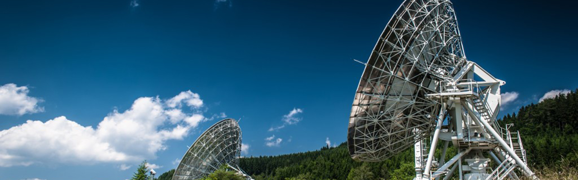
Recent improvements in the GPS Control Segment have allowed for improvements in the absolute accuracy available from autonomous (non-differentially corrected) GPS substantially. However, while a GNSS-capable receiver may provide increased reliability and availability, it may not offer higher accuracy than GPS. The Control Segment is comprised of government tracking and uploading facilities distributed around the world. These facilities track the satellite health, maneuvers, battery recharging, and monitor L-band signals from GPS satellites.
Today, there are 17 monitoring stations between the Air Force (6) and the National Geospatial-Intelligence Agency (11) . These stations track all satellites. In fact, every single GPS satellite is tracked by no less than 3 of these stations at any given time. The stations monitor a wide variety of data including atmospheric information, range measurements, orbital information, velocity, clock errors, right ascension and declination. Newer stations are also able to better isolate errors by improving the geographical diversity of the Control Segment. For example, making the distinction between the effects of the clock error from ephemeris errors. In other words, the diagnosis and solution of problems in the system are much more reliable due to the redundant observations of satellite anomalies with which to work. Testing has shown that the increased Control Segment and subsequent improved modeling may contribute to an increase in the accuracy of real-time GPS of 15% or more because of the improved accuracy of the clock corrections and ephemerides in the Navigation Message.
About the Author
Jan Van Sickle , Ph.D. has many years of experience in GIS, GPS, surveying, mapping and imagery. He has advised Anadarko, IHS Energy, Chesapeake, Microsoft, Intermap, Jeppesen, Geoeye, Hess, Laredo, Enserca, Digital Globe and others in geospatial matters. He began working with GPS in the early 1980s when he supervised control work using the Macrometer, the first commercial GPS receiver.
Jan earned his Ph.D. in geospatial engineering from the University of Colorado. He has been a licensed professional Land Surveyor for thirty-six years, is a member of the Royal Institute of Chartered Surveyors and is currently licensed in Colorado, California, Oregon, Texas, North Dakota, West Virginia and Pennsylvania.
He is a Senior Lecturer at Penn State University and teaches at the University of Colorado Denver. He was formerly on the board of RM-ASPRS, was the vice-chairman of GIS in the Rockies and was the founding chairman of the US West chapter of the Americas Petroleum Survey Group. He is also author of noted works such as Surveying Solved Problems for the FS and PS Exams (3rd Edition), GPS for Land Surveyors, and Basic GIS Coordinates.